Flooding focus turns to Red River
Advertisement
Read this article for free:
or
Already have an account? Log in here »
We need your support!
Local journalism needs your support!
As we navigate through unprecedented times, our journalists are working harder than ever to bring you the latest local updates to keep you safe and informed.
Now, more than ever, we need your support.
Starting at $15.99 plus taxes every four weeks you can access your Brandon Sun online and full access to all content as it appears on our website.
Subscribe Nowor call circulation directly at (204) 727-0527.
Your pledge helps to ensure we provide the news that matters most to your community!
To continue reading, please subscribe:
Add Brandon Sun access to your Free Press subscription for only an additional
$1 for the first 4 weeks*
- Enjoy unlimited reading on brandonsun.com
- Read the Brandon Sun E-Edition, our digital replica newspaper
*Your next Free Press subscription payment will increase by $1.00 and you will be charged $20.95 plus GST for four weeks. After four weeks, your payment will increase to $24.95 plus GST every four weeks.
Read unlimited articles for free today:
or
Already have an account? Log in here »
Hey there, time traveller!
This article was published 19/03/2019 (2645 days ago), so information in it may no longer be current.
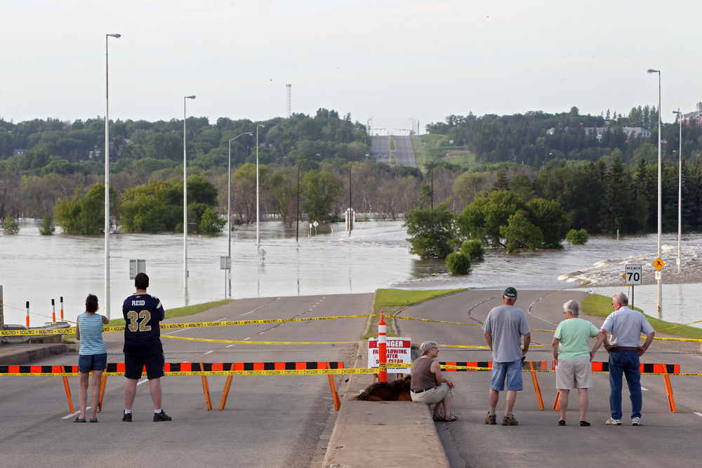
The Assiniboine River system will see limited flooding this year, according to the latest flood outlook from the provincial government.
Manitoba Infrastructure’s Hydrologic Forecast Centre reported Monday that the focus, at this time, will be on the Red River and its tributaries, which are expected to see “substantial” flooding at a magnitude higher than 2009, under normal or average weather conditions.
The centre is pointing to heavy snow in the northern United States and across the Red River Valley as factors.
“With favourable weather, the flood forecast at this stage indicates the Red would rise to 2011 flood levels,” the forecast said.
“With unfavourable weather conditions, water levels will be higher than 2009 levels by almost one foot at Emerson and by 1.5 feet at Ste. Agathe and reach 22 feet at James Avenue in the City of Winnipeg.”
A press release from the province said it will work with the federal government to ensure Indigenous communities are safe, as well as local municipalities in the valley and the City of Winnipeg.
Other preparations include supporting municipal evacuations if needed, assembling teams to work with farmers to move livestock out of impacted areas, preparing for community ring dike and road closures and acquiring additional flood protection equipment.
The provincial government’s first outlook, released in late February, suggested high — but below flood protection — levels on the Assiniboine and Souris Rivers, including some flooding on farm land and low-lying areas.
The province began increasing flows from the Shellmouth Reservoir earlier this year in preparation for spring runoff, which will help reduce flows on the Assiniboine.
Flood levels will depend on the rate of snow melt, as well as snow and rain accumulation over the coming weeks.
The main highway linking Winnipeg to the U.S. could be underwater for weeks, causing long detours for motorists, and a lot of farmland in the region is expected to be swamped.
Homes and other buildings in the region have been raised since the so-called flood of the century in 1997, which brought water levels much higher than what is now forecast.
Winnipeg itself is protected by a massive channel called the Red River Floodway, which diverts water around and away from the city.
The 2009 flood also created havoc north of Winnipeg, when ice jams caused parts of the Red River to surge suddenly and flood rural homes. Many residents on Crown land in the lowest-lying areas were later forced to relocate.
» The Brandon Sun, with files from The Canadian Press